The Open Geospatial Consortium (OGC) is proud to announce the recipients of several high-profile awards, recognizing outstanding individuals and organizations for their exceptional contributions to the geospatial community.
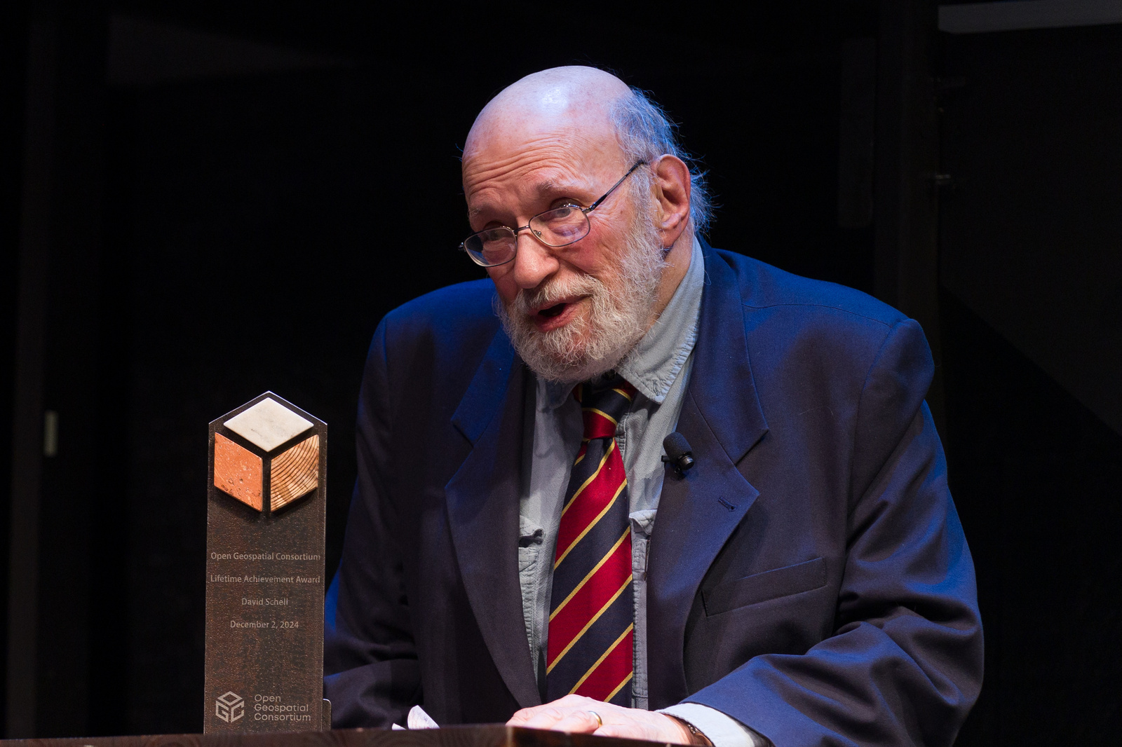
The awards ceremony, which was held during the OGC@30 anniversary event in Washington, DC last week, honored David Schell with a Lifetime Achievement Award, the General Authority for Survey and Geospatial Information (GEOSA) with a Board Chair Award for Excellence, and Patrick Cozzi with a Global Impact Award. Several former and current staff and board members were also honored with Service Awards.
Honoring David Schell with an OGC Lifetime Achievement Award
OGC co-founder David Schell was honored with the Lifetime Achievement Award for his invaluable efforts promoting and spearheading interoperability as a movement, an ethos, and a practice, and for the positive impacts that the interoperability of systems and data – primarily through the use of OGC and other open standards – has had on the entire globe. In recognition of his profound impact on the geospatial community and beyond, OGC announced that the Lifetime Achievement Award has been renamed the David Schell Award.
David’s long-standing friend and OGC Board Member, Velu Sinha, presented the award alongside a video message from Esri Founder & President, Jack Dangermond, who commented: “David recognized early on that the interconnection of the different disciplines, the different emerging technologies, the quantitative approaches, needed to be connected. This, he called interoperability. The interoperability of these emerging technology innovations into a kind of system of systems… So I’m very thankful, David. I want to personally acknowledge you for this work. For not just the idea, but the persistent working among the heterogenous groups around the world to drive these standards and this important concept home. Today, you see the results of that.”
In his address to David, Velu Sinha added: “David recognized that it wasn’t enough to just solve problems around being open. We needed to find a domain in which a vertical solution could be established to accelerate adoption. David saw that vertical in geospatial. And he identified and cultivated stakeholders – often in spite of their objections – to crystallize a problem statement. To provide not just a hypothesis of how things should interoperate, but to actually develop demonstrable solutions to the problem… From all of us who learned at your knee, David, thank you for your lifelong commitment to this cause.”
Schell’s vision has been instrumental in driving the development and adoption of open standards, leading to transformative advancements in fields such as disaster response, environmental monitoring, and infrastructure management. His work has fostered a “system of systems” approach to geospatial data, enabling seamless integration and collaboration across a wide swathe of technologies and disciplines.
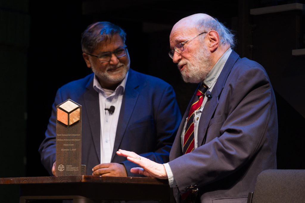
GEOSA Receives Inaugural OGC Board Chair Award for Excellence
The first-ever OGC Board Chair Award for Excellence was presented to the General Authority for Survey and Geospatial Information (GEOSA) in recognition of their leadership in developing and implementing a robust Geospatial Governance and Policy framework. This framework has significantly strengthened Saudi Arabia’s geospatial infrastructure and has been shared with the Arab States, empowering the region with enhanced geospatial capabilities and fostering collaborative growth.
Upon presenting the award to Eng. Asim AlGhamdi, Assistant President of GEOSA, who accepted the award on behalf of GEOSA, OGC Chair, Prashant J. Shukle commented: “Through its commitment to knowledge-sharing, GEOSA has created a strong foundation for enhancing geospatial capabilities across the region. By extending this framework to the Arab States, they have opened the door to new opportunities for collaboration and progress in addressing shared challenges. This effort holds immense potential to drive regional growth and cooperation, setting a model of leadership that resonates far beyond the Arab States.”
GEOSA exemplifies what is possible when visionary leadership is paired with determination and clear purpose. GEOSA has made a lasting and positive impact on the Arab States, demonstrating the power of collaboration and shared knowledge. Looking ahead, their achievements lay a strong foundation for even greater opportunities, inspiring further innovation and cooperation both regionally and globally.
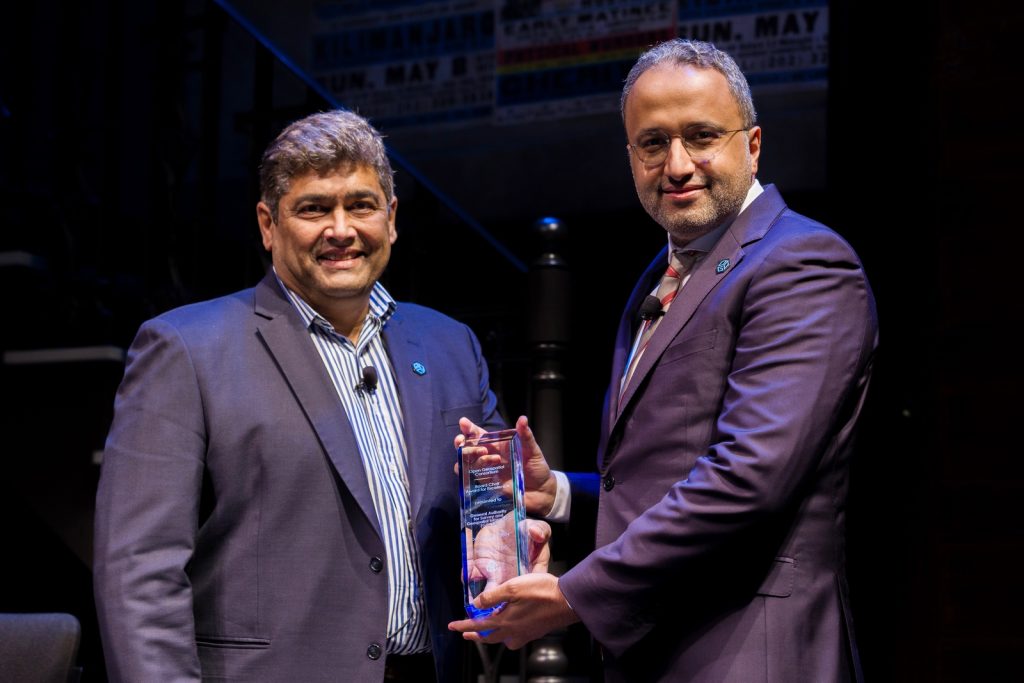
Patrick Cozzi Receives Inaugural OGC Global Impact Award
Patrick Cozzi, Chief Platform Officer at Bentley Systems and Founder of Cesium, received the inaugural Global Impact Award for his pioneering work bringing 3D Tiles to OGC as a Community Standard. Patrick’s efforts have revolutionized the way massive 3D geospatial datasets can be streamed, shared, and visualized across various platforms.
OGC’s Chief Standards Officer, Scott Simmons, presented the award to Cozzi, stating: “By integrating 3D Tiles with other OGC Standards – as well as offerings from other companies, such as Google Maps – Patrick has not only contributed to OGC’s mission to improve access to information, but has accelerated 3D Tiles’ recognition and adoption across the globe, while increasing interoperability between 3D applications.”
Patrick’s contributions have significantly improved access to information and fueled innovation in 3D geospatial applications worldwide.
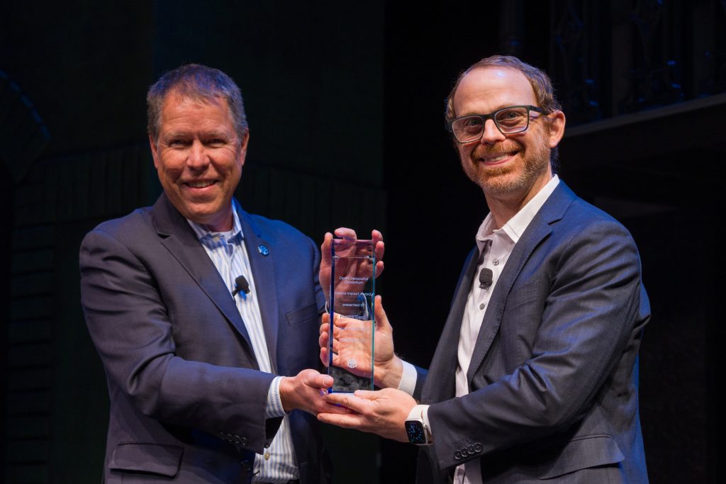
Celebrating Dedicated Service to OGC
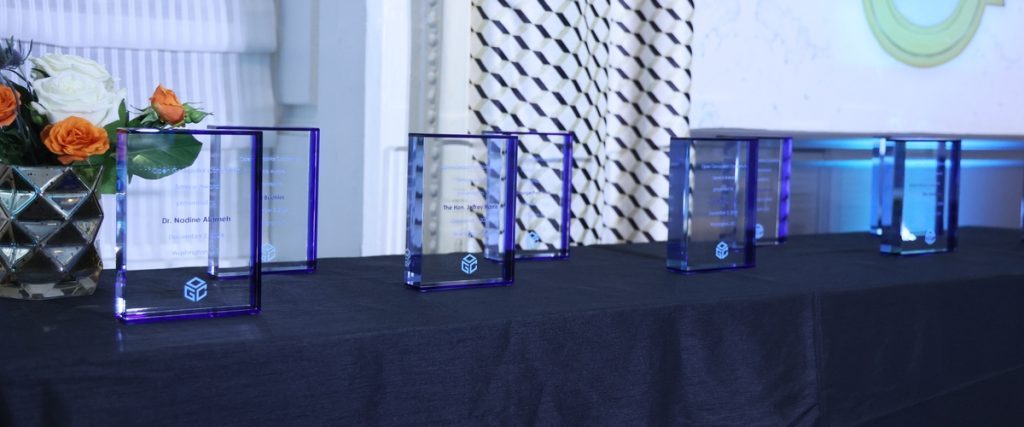
During a gala dinner following the OGC@30 event, service awards were presented to past and present members of the OGC Staff and Board in recognition of their dedication to the OGC mission of making the data, systems, and people of the world work better together. The recipients were, in alphabetical order:
- Dr. Nadine Alameh
- Kurt Buehler
- The Hon. Jeffrey Harris
- George Percivall
- Carl Reed, Ph.D.
- Mark Reichardt
- Éric Soulères
- Robert van de Velde
- Marie-Françoise Voidrot
OGC congratulates and applauds all awardees for their remarkable achievements and commitment to interoperability and open standards. Their work embodies the spirit of collaboration and innovation that not only lies at the heart of OGC but is essential for addressing global challenges and building a more sustainable future.
About OGC
The Open Geospatial Consortium (OGC) is a membership organization dedicated to using the power of geography and technology to solve problems faced by people and the planet. OGC unlocks value and opportunity for its members through Standards, Innovation, and Collaboration. Our membership represents a broad and active global community drawn from government, industry, academia, international development agencies, research & scientific organizations, civil society, and advocates.
Visit ogc.org for more information about our work.
