Related Content: MUDDI
-
Blog article
From Ground Zero to Global Change: Alan Leidner on the Power of Underground Data
Alan Leidner shares how 9/11 revealed the need for better underground data—and how that insight led to the global MUDDI Standard for smarter, safer cities.
-
Blog article
The Vital Role of Undersea Cable Infrastructure and the Importance of Geospatial Standards
Undersea cables are the invisible lifelines of the global internet, yet they face growing threats—from accidents to sabotage. This article explores how geospatial standards from...
-
Blog article
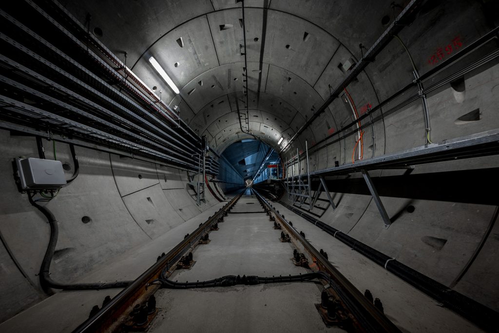
What Lies Beneath: The Standard Making Underground Infrastructure Smarter and Safer
Discover how the MUDDI standard is transforming underground infrastructure data to build safer, smarter, and more resilient cities from the ground down.
-
Announcement
OGC Approves Model for Underground Data Definition and Integration as Official Standard
MUDDI serves as a framework to make different datasets for underground objects interoperable, exchangeable, and more easily manageable.
-
Blog article
How OGC Contributes to FAIR Geospatial Data
Standards are a key element of the FAIR Principles of Findability, Accessibility, Interoperability, and Reusability. As such, the Open Geospatial Consortium (OGC) has been supporting...


