Related Content:
-
Call for participation (CFP)
OGC Calls For Participation in the Releasable Basemap Tiles GeoPackage Sprint
Three-week Sprint intends to test a draft specification for NSG Vector Tiles Interoperability Volume 2: Basemap Tile Packages
-
Request for comment (RFC)
OGC considering Bathymetric Attributed Grid as a Community Standard; comment sought on its adoption
BAG is an established open specification for representing bathymetric data as regular grids of seafloor depths with the corresponding vertical uncertainty and associated metadata.
-
Request for comment (RFC)
OGC Seeks Public Comment on OGC API – Maps – Part 1: Core Candidate Standard
OGC API - Maps defines web APIs that can serve spatially referenced electronic maps in a manner independent of the underlying data store.
-
Request for comment (RFC)
OGC considering openEO as a Community Standard; comment sought on its adoption
openEO aims to increase the interoperability of processing “big EO data” satellite imagery in the cloud.
-
Request for comment (RFC)
OGC to form Geographic Data Files Standards Working Group; Public Comment sought on Charter
New SWG will create a major revision to the GDF Standard, used for the preparation and exchange of spatial and map data within the Intelligent...
-
Request for comment (RFC)
New SWG will support transparency, enable interoperability, and promote knowledge-sharing surrounding the use of international reporting indicators that rely on geospatial data.
-
Request for comment (RFC)
New Standard will provide a basis for Publish-Subscribe implementation patterns within the OGC API ecosystem.
-
Request for comment (RFC)
OGC Requests Public Comment on Features and Geometries JSON – Part 1: Core Standard
The JSON-FG Standard specifies extensions to the GeoJSON format that support certain useful geospatial application contexts.
-
Request for comment (RFC)
OGC Requests Public Comment on OGC Points Of Interest Conceptual Model Standard
A flexible, lightweight, extensible POI data model that will enable content publishers to effectively describe and efficiently exchange POI data.
-
Request for comment (RFC)
OGC to form Transportation and Mobility Domain Working Group; Public Comment sought on Charter
Providing a forum to discuss and support the use of geographic information in planning, operating, and optimizing transportation and mobility systems.
-
Request for comment (RFC)
OGC TrainingDML-AI Standard standardizes any training data used to train, validate, and test Machine Learning models that involve location or time.
-
Call for participation (CFP)
OGC Calls for Participation in the Urban Digital Twins Interoperability Pilot
Laying the foundations for improved interoperability between Digital Twins developed for separate applications. Funding is available.
-
Call for participation (CFP)
Advancing the Foundations of Interoperability: OGC Testbed-20 Calls For Participation
Testbed-20 will drive innovation at the foundations of geospatial data ecosystems, with new imagery, new HPC, and new data cubes.
-
Request for comment (RFC)
OGC Requests Public Comment on OGC API – Records – Part 1: Core
New OGC API makes geospatial resources Findable by standardizing the way that collections of descriptive information (metadata) about the resources is exposed.
-
Request for comment (RFC)
OGC seeks public comment on OGC CDB v1.3
CDB v1.3 adds the ability to use NAS and other feature dictionaries, a rework of the Gamma Tutorial, and four new texture types.
-
Request for comment (RFC)
OGC Seeks Public Comment on OGC API – Features – Parts 4 & 5
Part 4 defines API building blocks that allow geospatial resources to be added to, replaced, modified and/or removed; while Part 5 specifies how to describe...
-
Request for comment (RFC)
OGC requests Public Comment on IndoorGML v2.0 Conceptual Model
IndoorGML models indoor spaces and their neighborhood relationships to support indoor location-based services, including indoor navigation.
-
Request for comment (RFC)
OGC to form Emission Event Modeling Language Working Group; Public Comment sought on Charter
EmissionML seeks to address the data interoperability gap that exists between emissions, their associated sensor observations, and the geospatial features that are their source.
-
Call for participation (CFP)
OGC is excited to offer our members a pool of funding to participate in the second phase of the 2024 Climate and Disaster Resilience Pilot....
-
Request for comment (RFC)
OGC API - Connected Systems modernizes the OGC Sensor Web Enablement Standards, and connects sensors with infrastructure systems on or around the Earth.
-
Call for participation (CFP)
Grant Applications Open for Pilot Project to Bridge Land and Sea Data
Fifth phase of OGC’s multi-year Federated Marine SDI project will explore mechanisms for dynamically transferring data between land and sea paradigms with as little loss...
-
Request for comment (RFC)
The GONAR SWG aims to create a standardized way to clearly and consistently express user needs for geospatial observation data so that they may be...
-
Request for comment (RFC)
New OGC Best Practice aims to support a standardized encoding from UML to JSON, in order to improve interoperability and efficiency in the chain from...
-
Request for comment (RFC)
OGC requests Public Comment on candidate OGC API – DGGS Standard
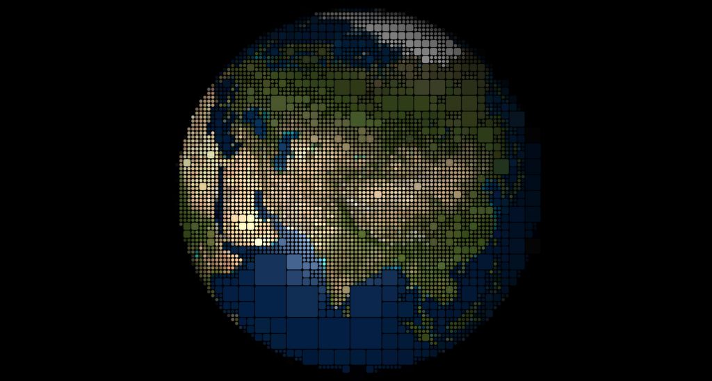
The candidate OGC API - DGGS Standard enables compliant APIs to retrieve geospatial data for a specific area, time, and resolution, based on a specific...
-
Call for sponsorship (CFS)
OGC is seeking visionary organizations to support an upcoming Pilot aimed at testing, enabling, and improving AI-augmented Discrete Global Grid Systems (DGGS).
-
Request for comment (RFC)
OGC to form GeoDCAT Standards Working Group; Public Comment sought on Draft Charter
The GeoDCAT SWG aims to separate a general geospatial profile of DCAT, called GeoDCAT, out from the Europe-specific Application Profile, GeoDCAT-AP.
-
Request for comment (RFC)
New SWG will develop an Agriculture Information Model that will provide a common language for agriculture applications to harmonize and improve data and metadata exchange.
-
Request for comment (RFC)
OGC seeks Public Comment on FlatGeobuf becoming a Community Standard
FlatGeobuf is a performant binary encoding for geographic data that works well as a “cloud native” lossless format for vector data.
-
Request for comment (RFC)
OGC Seeks Public Comment on Extension to SensorThings API Standard, STAplus 1.0
STAplus brings features to improve the usefulness of the SensorThings API to Citizen Science.
-
Request for comment (RFC)
OGC seeks Public Comment on v3.0 of GeoXACML and related JSON Profile
Geospatial eXtensible Access Control Markup Language is a geospatial extension to the OASIS XACML standard for defining access rights based on geographic conditions.
-
Call for participation (CFP)
Interoperability and Collaboration from Oceans to Space: OGC Testbed-19 Calls For Participation
OGC Testbed-19 will pave the way towards new levels of interoperability across Geospatial in Space, Machine Learning, Geodatacubes, Analysis Ready Data, Agile Reference Architecture, and...
-
Call for participation (CFP)
Pilot will investigate how marine navigational data can be used in new ways in the Caribbean, and how Digital Twins can be created for coastal...
-
Request for comment (RFC)
OGC Seeks Public Comment on New Standard for Training Data for AI/ML Applications
OGC TrainingDML-AI Standard defines the model and encodings for standardizing any training data used to train, validate, and test Machine Learning models that involve location...
-
Request for comment (RFC)
Two new specifications will provide a standardized way to exchange information used to calculate the changing positions of objects due to the movement and deformation...
-
Request for comment (RFC)
Parts 1 & 3 of updated International Standard define the concept of Coverages as well as a processing language for extracting, filtering, processing, analyzing, and...
-
Request for comment (RFC)
Public Comment requested on GeoPose Implementations before Adoption as OGC Standard
GeoPose is a Standard for expressing and sharing geographically-anchored poses of objects in six degrees of freedom and referenced to a CRS.
-
Request for comment (RFC)
OGC seeks Public Comment on version 1.4 of GeoPackage Standard
New version of GeoPackage adds more flexibility and prevents some possible interoperability problems.
-
Request for comment (RFC)
OGC seeks Public Comment on update to Abstract Specification Topic 1 – Spatial Schema
OGC Abstract Specification Topic 1 to be aligned with the ISO 19107:2019 Standard.
-
Request for information (RFI)
OGC releases Open Science Persistent Demonstrator Request For Information
Initiative will grow the open science community and make scientific results available to the people who need it most, in a format they can benefit...
-
Request for comment (RFC)
OGC seeks Public Comment on CDB v2.0 Core and related GeoPackage Profile
This major revision is the result of numerous OGC Interoperability Experiments, Sprints, discussions, and feedback from the user community.
-
Request for comment (RFC)
OGC seeks public comment on candidate OGC API – Moving Features – Part 1: Core Standard
New OGC API provides a standard way to manage and interact with geospatial data that represents phenomena and objects that move and change over time.
-
Request for comment (RFC)
OGC to form GeoZarr Standards Working Group; Public Comment sought on draft Charter
A GeoZarr Standard developed by the SWG will establish flexible and inclusive conventions for the cloud-native Zarr format that meet the diverse requirements of the...
-
Call for sponsorship (CFS)
Sponsorship Opportunities Open for the OGC Climate & Disaster Resilience Pilot 2024
Stakeholder-centric Pilot will accelerate our readiness for climate change and related disasters by optimizing on-demand information to better understand, trace, mitigate, adapt, and respond.
-
Request for comment (RFC)
OGC to form Space Standards Domain Working Group; Public Comment sought on Draft Charter
The Space Standards DWG will serve as a coordinating body for Space Standards, leading to interoperable representations for space and time across the domain.
-
Request for comment (RFC)
OGC Seeks Public Comment on Adoption of STAC and STAC API as Community Standards
The SpatioTemporal Asset Catalog (STAC) is an open specification designed to improve the discovery, accessibility, and interoperability of geospatial data.
-
Call for participation (CFP)
Funding available for creating GeoParquet Developer Resources
OGC has opened a Call For Proposals to receive funding to develop resources to assist implementers of the Standard and support the creation of a...
-
Request for comment (RFC)
OGC seeks public comment on MUDDI Conceptual Model for underground objects
The Model for Underground Data Definition and Integration Standard makes subsurface data Findable, Accessible, Interoperable and Re-usable.
-
Call for participation (CFP)
OGC Calls for Participation in the Climate & Disaster Resilience Pilot 2024
Pilot will advance information and technologies supporting climate and disaster understanding & readiness while seeding collaboration between these two connected domains.
-
Request for comment (RFC)
OGC seeks Public Comment on Abstract Conceptual Model For Time
New OGC Abstract Topic document clearly defines the major underlying concepts of time, such as the fundamental concepts of events, clocks, timescales, coordinates, and calendars.
-
Call for sponsorship (CFS)
Addressing the complexities faced by organizations connecting data of the sea with data of the land.
-
Request for comment (RFC)
New LADM SWG will create an encoding Standard as an additional Part to the ISO LADM Standard, facilitating adoption of LADM and improving interoperability.
