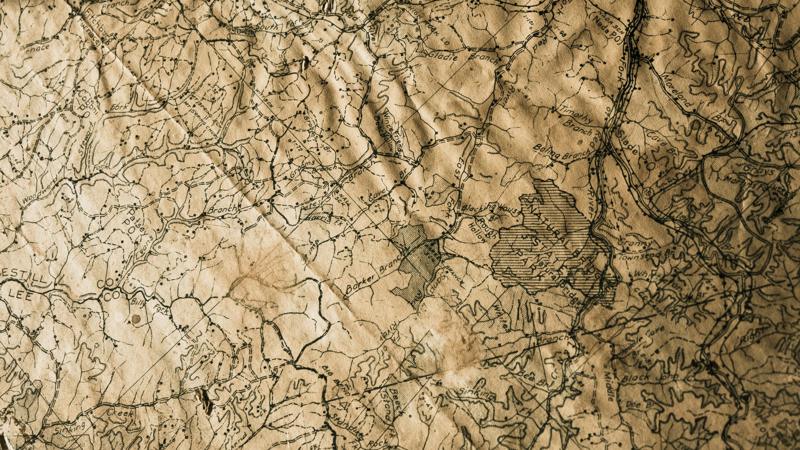
The Open Geospatial Consortium (OGC) Membership has approved OGC API – Maps – Part 1: Core as an official OGC Standard.
The OGC API – Maps – Part 1: Core Standard defines a web interface for portraying geographic information. One of the main benefits of this Standard is the ability to generate maps by combining data from one or more servers into a single view, ensuring fast and efficient cartographic portrayal.
Additional features include options for retrieving data layers within specific areas of interest (AOIs) as well as specifying transparency, styles, scales, and device display settings. The Standard also provides the ability to specify map orientation and supports multiple Coordinate Reference Systems (CRS).
The OGC API – Maps – Part 1: Core Standard is designed as a modern, API-based alternative to the Web Map Service (WMS) and Web Map Tile Service (WMTS) Standards. It can be integrated with the OGC API – Tiles – Part 1: Core Standard to support more advanced capabilities.
To help developers quickly implement products that support this standard, example API definitions and schemas are available on the OGC API – Maps webpage. These resources conform to OpenAPI Specification v3.0, making them easy to integrate into various Web APIs.
OGC API – Maps – Part 1: Core is the outcome of the work and dedication of the OGC API – Maps Standards Working Group. Development of the Standard was led by:
- Editors:
- Joan Masó, Universitat Autònoma de Barcelona (CREAF)
- Jérôme Jacovella-St-Louis, Ecere Corporation
- Submitters:
- Jeff Harrison, US Army Geospatial Center (AGC)
- Satish Sankaran, Esri
As with any OGC standard, the OGC API – Maps – Part 1: Core Standard is free to download and implement. Interested parties can learn more on the OGC API – Maps Standard webpage.
