
Welcome to the OGC Newsroom
You’ll find the latest announcements from OGC here.
Never miss an update! Subscribe to our bi-weekly newsletter for the latest news and events delivered right to your inbox.
News
A recap of the 128th OGC Member Meeting, Delft, The Netherlands
OGC’s 128th Member Meeting, themed ‘GeoBIM for the Built Environment,’ was our biggest ever, with over 300 attendees from industry, government and academia.

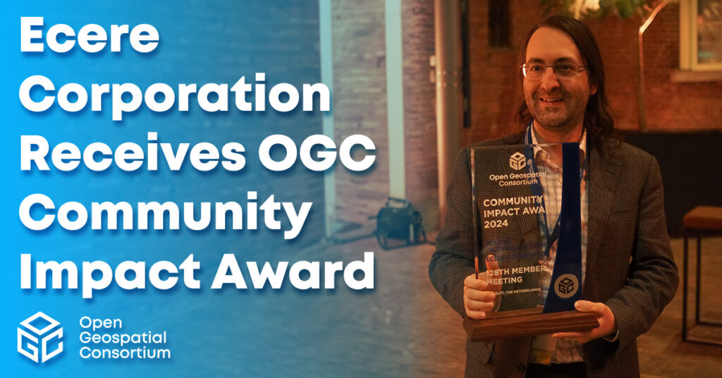
Ecere Corporation receives OGC Community Impact Award
The award recognizes OGC members who, through exceptional leadership, volunteerism, collaboration, and investment, have positively impacted the geospatial community.
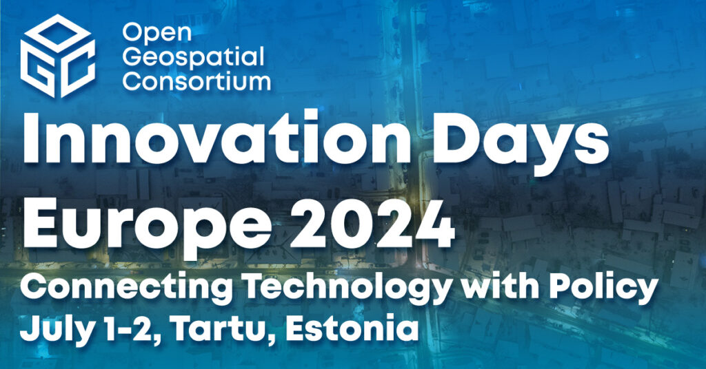
Registration opens for OGC Innovation Days Europe 2024
OGC Innovation Days Europe event seeks to connect technology with governance and policy.
Calls and Requests
OGC members can submit proposals for COSI Initiatives when a Call for Participation (CFP) or Sponsorship (CFS) is released. Members of the public are also invited to provide feedback on standards, charters, and other consensus-based activities.
No posts found.