
Welcome to the OGC Newsroom
You’ll find the latest announcements from OGC here.
Never miss an update! Subscribe to our bi-weekly newsletter for the latest news and events delivered right to your inbox.
News
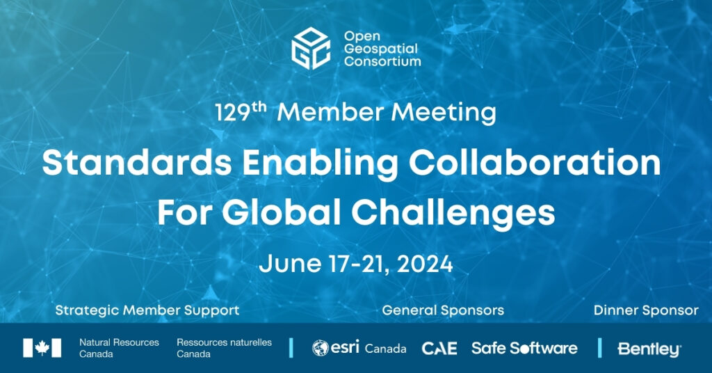
Standards Enabling Collaboration For Global Challenges
A preview of the 129th Member Meeting, to be held June 17-21 in Montreal, Canada.
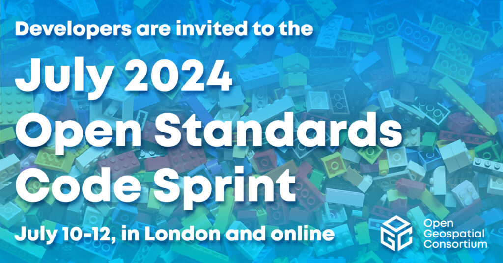
Registrations Open for OGC’s July 2024 Open Standards Code Sprint
While all OGC Standards are in scope, the Sprint will feature three special tracks on Data Quality & Artificial Intelligence, Validators, and Map Markup Language…
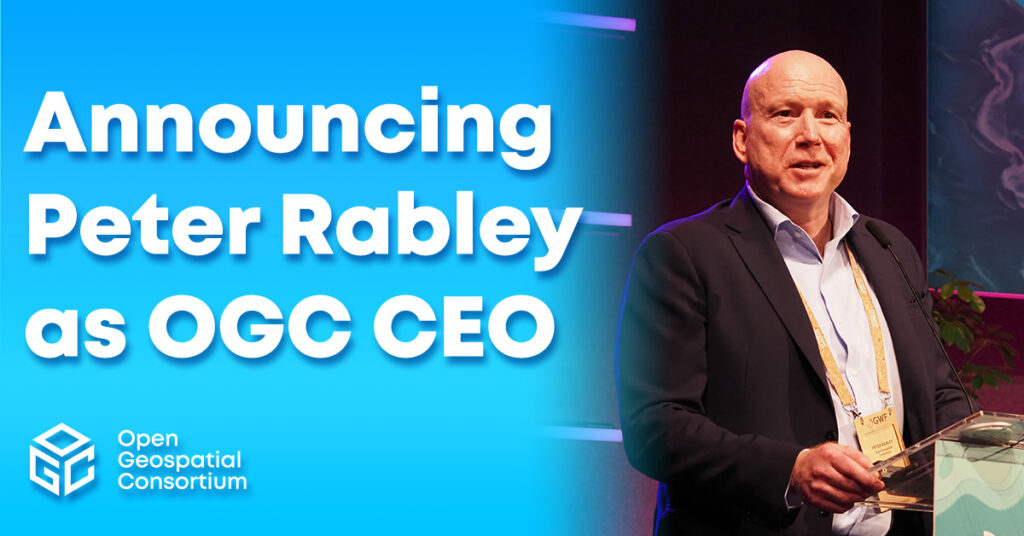
OGC announces Peter Rabley as new CEO
Peter Rabley will build on OGC’s 30 year history while responding to the pressing need for the consortium to be agile at a time of…
Calls and Requests
OGC members can submit proposals for COSI Initiatives when a Call for Participation (CFP) or Sponsorship (CFS) is released. Members of the public are also invited to provide feedback on standards, charters, and other consensus-based activities.
No posts found.