
Welcome to the OGC Newsroom
You’ll find the latest announcements from OGC here.
Never miss an update! Subscribe to our bi-weekly newsletter for the latest news and events delivered right to your inbox.
News
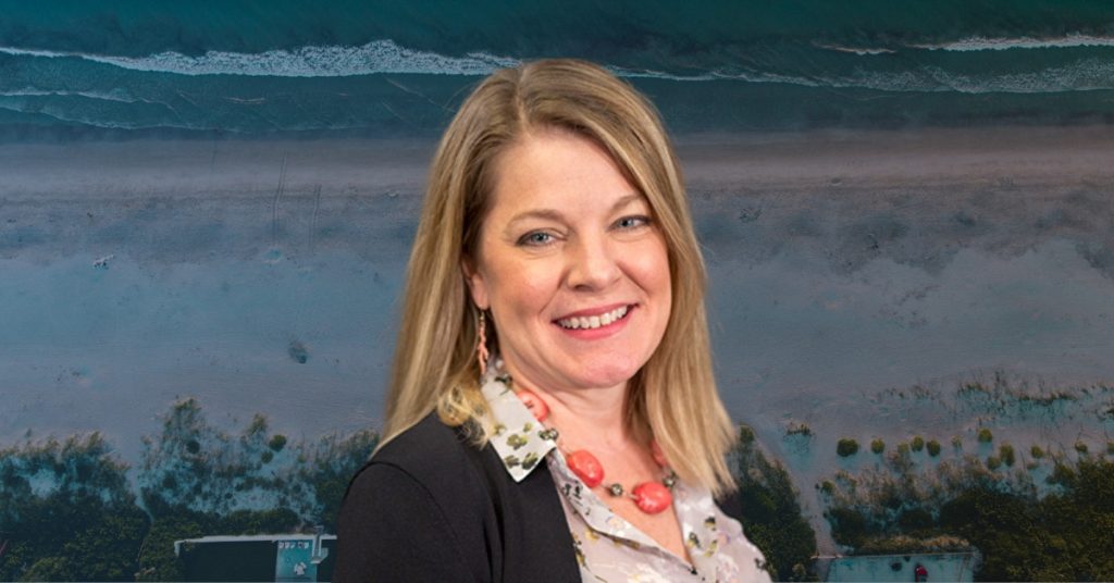
OGC announces Christy Monaco as new Chief Operating Officer
As OGC’s COO, Christy will use her experience with federal agencies, partnership-building, event management, and member success to help grow and shape the Consortium.
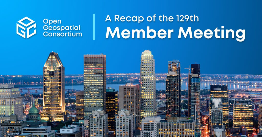
A recap of the 129th OGC Member Meeting, Montreal, Canada
Themed “Standards enabling collaboration for global challenges,” the meeting focused on discussing, aligning, supporting, and promoting geospatial solutions around climate change, disasters, marine, AI/ML, and…
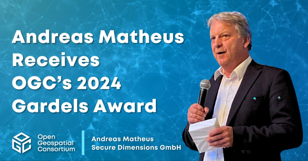
Andreas Matheus receives OGC’s 2024 Gardels Award
Congratulations to Andreas Matheus, awarded the 2024 Gardels Award for his work to ensure best practices in security and API design in OGC.
Calls and Requests
OGC members can submit proposals for COSI Initiatives when a Call for Participation (CFP) or Sponsorship (CFS) is released. Members of the public are also invited to provide feedback on standards, charters, and other consensus-based activities.
No posts found.