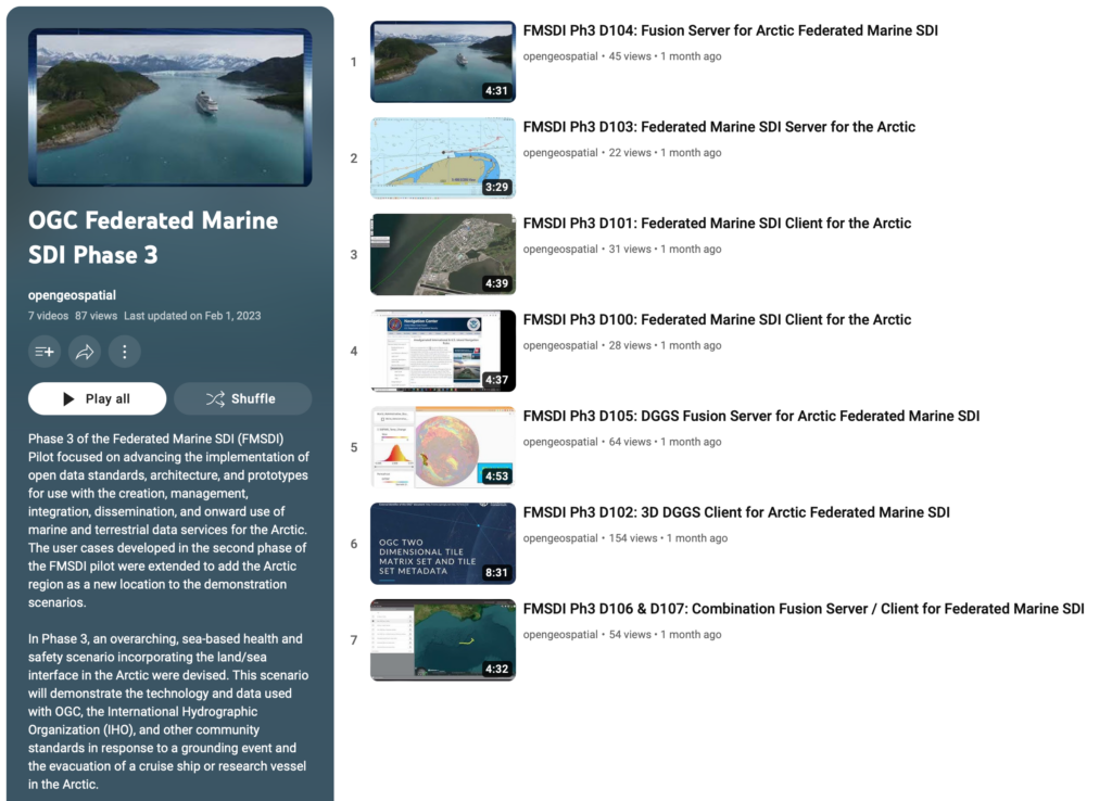
Federated Marine Spatial Data Infrastructure (FMSDI) Pilot: Phase 3 – Connecting Land and Sea to Protect the Arctic Environment
Introduction
The Arctic has a critical impact on changing the world’s climate, and climate change impacts are already evident, including altered navigability, changing ocean currents, melting permafrost, and rapidly changing coastlines. At the same time, the Arctic is the habitat of indigenous groups and, increasingly, economic space.
Building on efforts of previous FMSDI phases, this pilot has shown how open, freely available standards, such as those from OGC and IHO, can make data easier to find and more cost-effective to use. Open, international standards, make data usable by many stakeholders and accessible to a broader user community.
Through the sponsorship of NGA, the OGC’s Collaborative Solutions & Innovation (COSI) division, and the participation and hard work of seven dedicated participants, the pilot demonstrated how accessing and publishing data, through FAIR Data Principles – Findable, Accessible, Interoperable, Reusable, can improve decision making during a maritime emergency.
The Challenge
The challenge in understanding the Arctic, and the changes taking place, is the effective and efficient discovery, integration, and analysis of the available data. This is emphasized even more at the land / sea boundary. Different data formats, different spatial reference systems, different providers, and very different perspectives on the data can make integration challenging.
Using the latest open standards to overcome these challenges, this phase of the pilot focused on the integration of a wide variety of land and sea data from a diverse group of providers. This allowed stakeholders to better respond to a maritime emergency in the Arctic using readily available geospatial data and services.
Scenario & Methodology
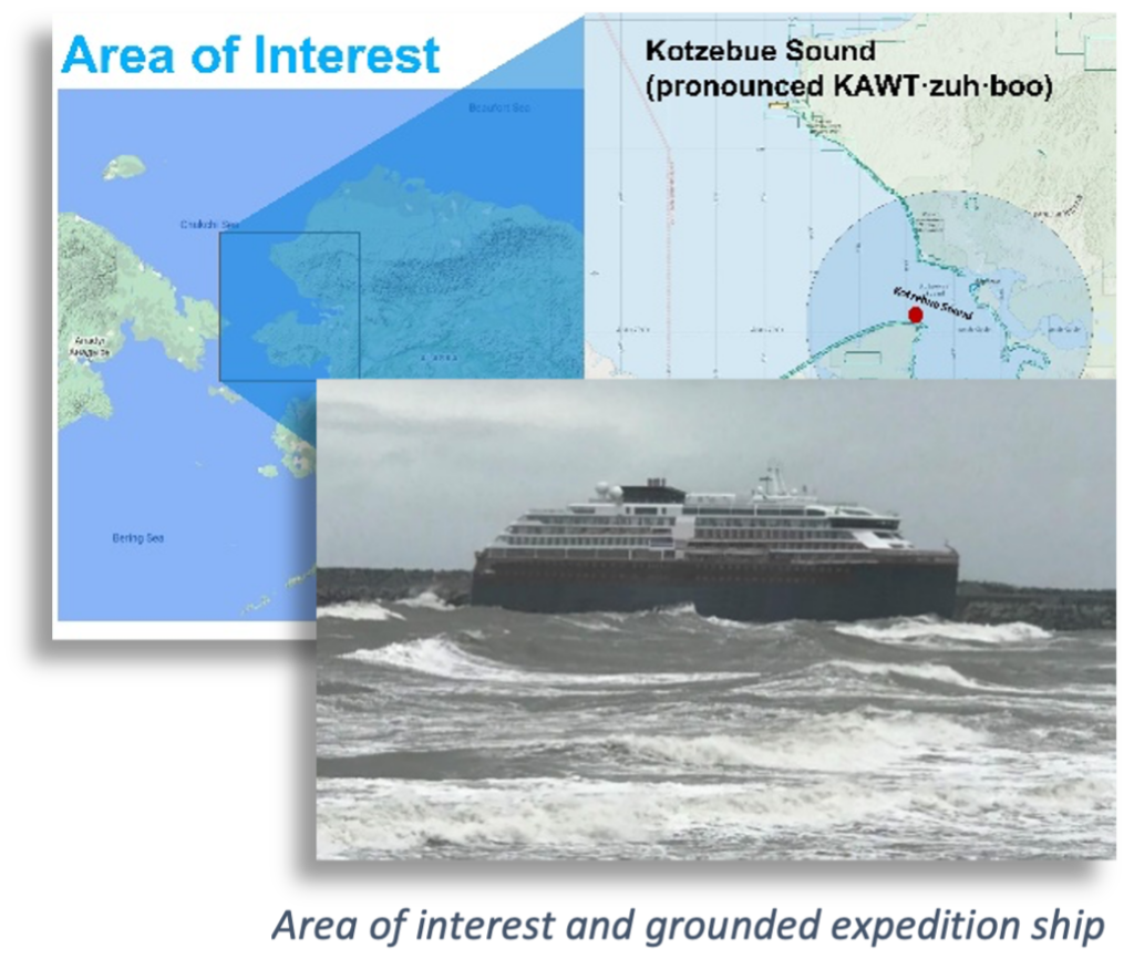
Due to changes in the Arctic climate, there has been a significant increase in shipping traffic (as is the risk of incidents). A sea-based, transportation, health and safety scenario involving an expedition cruise ship, with 200 passengers and crew, running aground in Kotzebue Sound on the west coast of Alaska. This area included national parks and several Large Marine Ecosystems (LMEs) with challenging navigation conditions.
Sub-scenarios, developed by the participants, demonstrated how technology and data used with OGC and IHO standards, such as the OGC APIs and IHO S-100, could effectively aid in decision making during an emergency event.
The FMSDI Pilot Phase 3, conducted between July 2022 and February 2023, examined what marine data services (from spatial data infrastructures, from web portals, and directly accessible data in the cloud) can currently do and where there are still shortcomings. This was supplemented by an online survey of what additional data are of interest and for what areas they can be used.
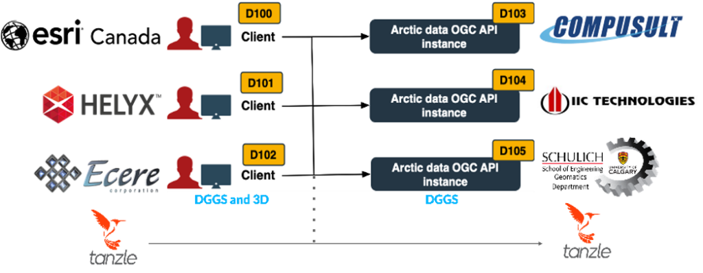
The participants were equally divided between the provision of a fusion server or the provision of an advanced client. The server providers were responsible for providing access to the data via OGC APIs, primarily the OGC API – Features. This division of function ensured a demonstration of interoperability between the components.
Results
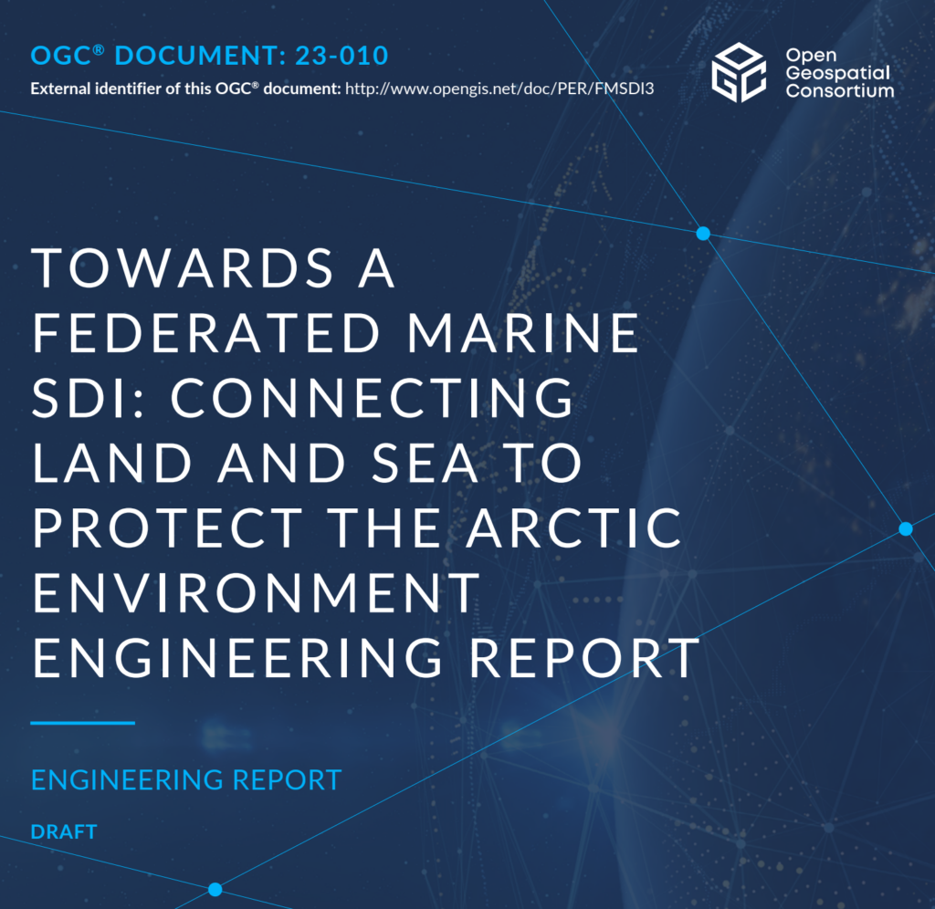
All participants were successful in implementing their respective server or client component, overcoming the challenge of limited data for the area. Participants successfully developed demonstration videos and documented their efforts in an Engineering Report showing how data can be discovered, accessed, used, and reused, shared, processed, analyzed, and visualized using OGC APIs and IHO S-100 data. Each participant demonstrated what is currently possible and what gaps are experienced with the data and resources that can be discovered on the Internet.
From a technical point of view, the pilot has once again proven the performance of OGC API interface standards. Furthermore, it has shown how data integration problems can be solved by using Discrete Global Grid Systems (DGGS).
In the future, the creation of Digital Twins of the Arctic must be pushed forward. Only the integration and analysis of a multitude of data allows us to better understand this complex living and economic space. The digital twins must also support “what-if” scenarios so that the impact of measures can be considered and evaluated.
Only when all four criteria of “Findable, Accessible, Interoperable, Reusable” are fulfilled, can rapid, cost-effective integration be achieved. This pilot has again shown that the available OGC APIs and IHO standards, with their range of services, helps providers meet these criteria. Now it is up to the data providers to use them consistently and to offer their own data accordingly.
For additional information on this innovative project, please contact innovation@ogc.org.
