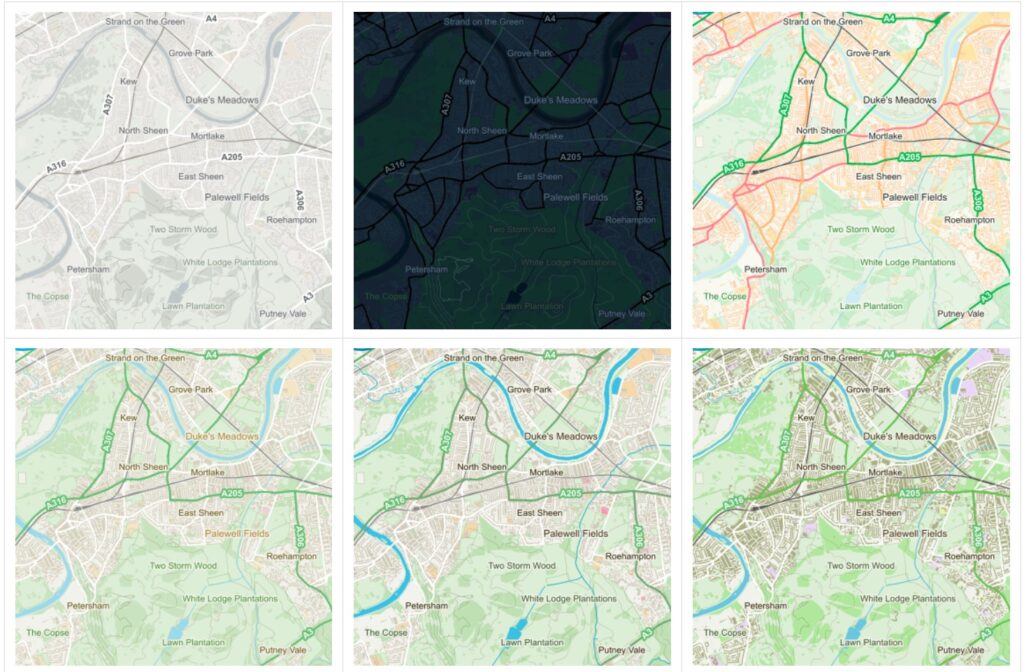
APIs have proven to be a popular and very effective enabler of rapid software development. This is more so in web mapping, where a combination of cartographic and software development skills is often needed to create maps for a global user base. As part of OGC’s on-going development of the OGC API suite of standards, OGC has been holding a series of Code Sprints. As part of this series, the May 2021 OGC API Virtual Code Sprint was conducted May 26–28, 2021.
With Ordnance Survey (OS) as Gold-level Sponsor and Natural Resources Canada (NRCan) as Silver-level Sponsor, the code sprint sought to progress the development of the draft OGC API standards for Maps, Tiles, and Styles. The sprint also sought to identify issues as well as options for addressing them.
This code sprint was the first to focus on the draft OGC API standards for Maps, Tiles, and Styles and thereby provide an opportunity for the APIs to be prototyped within solutions that implement the three APIs.

The specific objectives of the code sprint were to:
- Develop prototype implementations of OGC API – Maps.
- Develop prototype implementations of OGC API – Tiles.
- Develop prototype implementations of OGC API – Styles.
- Test the prototype implementations.
- Provide feedback to the Editor about what worked and what did not work.
- Provide feedback about the specification document, especially what is missing from the document.
The Code Sprint successfully met all of its objectives and achieved its goal of progressing the development of the draft OGC API standards for Maps, Tiles, and Styles.
The draft OGC API – Maps specification describes an API that presents data as maps by applying a style. The draft specification enables a client application to request maps as images. This includes the ability to specify or change parameters such as the size of an image and coordinate reference systems at the time of request.
The draft OGC API – Tiles specification describes an API building block that can enable other OGC API implementations to serve maps or tiled feature data divided into individual tiles. The draft specification includes concepts such as tile matrix sets and tile schemes. The draft standard can be used to publish map tiles and tiled feature data (the latter also colloquially called Vector Tiles).
The draft OGC API – Styles specification defines a Web API that enables map servers or clients, as well as visual style editors, to manage and fetch styles that consist of symbolizing instructions that can be applied by a rendering engine to features and/or coverages.
The sprint participants identified and documented the lessons learnt in a Summary Engineering Report, due to be presented to the Architecture Domain Working Group during the 120th OGC Member Meeting on Monday 13th September, 2021, and published soon after. OGC Members and non-members alike can register for the next OGC Member Meeting at ogcmeet.org.
The Summary Engineering Report also contains a vision of what the three OGC APIs examined at the Sprint will do to help meet the needs of the National Mapping Agency (NMA) community.
