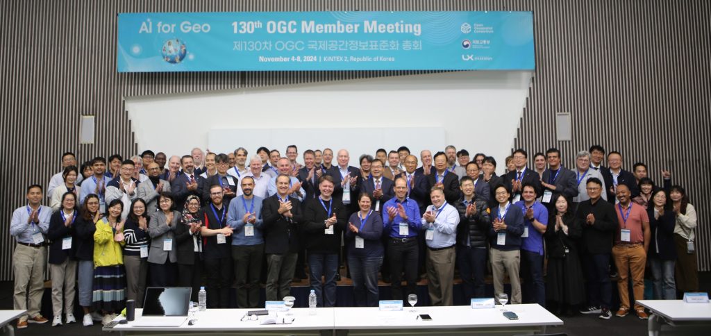
The 130th OGC Member Meeting took place in Goyang, Republic of Korea, from November 4-8, 2024. Sponsored by the Ministry of Land, Infrastructure and Transport (MOLIT) and the Korea Land and Geospatial Informatix Corporation (LX), the meeting was hosted at the KINTEX Exhibition Center in conjunction with the K-GEO FESTA 2024.
The meeting was attended by over 150 people, with an additional 100+ participants attending online. Attendees included key standards leaders and regional experts from industry, academia, and government.
Strolling through the crisp autumn air outside the meeting center, I was struck by the ambition driving the development of Goyang—a city bustling with innovation—and I couldn’t help but feel that it mirrored the ambitious spirit of our gathering. Before diving into the complexities of AI and geospatial technologies, I had the pleasure of sampling some local culinary delights like bibimbap and a variety of Korean barbeques. Korea’s rich gastronomic heritage set a welcoming tone for the discussions that followed.
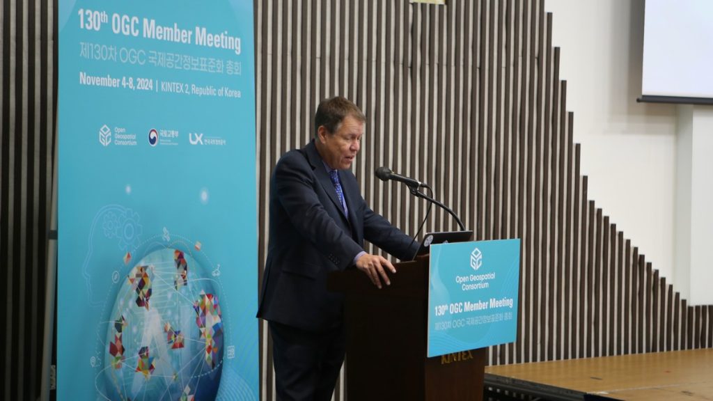
This meeting, we delved into the theme “AI for Geo,” focusing on the integration of artificial intelligence with geospatial technologies. This pivotal theme was explored in several sessions ranging from the AI for Geo Summit to the OGC & Korea Joint Conference.
OGC has had the privilege of participating in previous instances of the K-GEO FESTA (formerly known as the Smart GEO Expo), where once again, the activities and contributions of OGC members were highlighted. Tours were organized for OGC members to explore the K-GEO FESTA exhibit hall and engage with local companies offering a wide array of geospatial services. Additionally, several OGC members took the stage to present in various sessions throughout the FESTA.
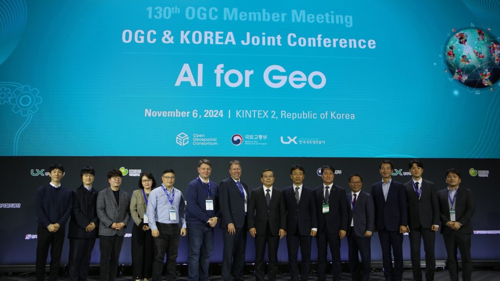
The Joint Korea-OGC Conference was held in conjunction with the opening of the K-GEO FESTA and featured senior leadership from both the Korean Government and OGC, along with its various forums. Welcoming remarks were delivered by LEE Sang Joo, Director at MOLIT; LEE JooHwa, Vice President at LX; and Scott Simmons, Chief Standards Officer at OGC. The conference was further enriched by a keynote from CHO Sung Hwan, President of ISO. Following these initial addresses, the conference showcased six technical presentations from both the Korean and OGC communities, exploring a range of innovative topics:
- GeoAI Objectives and Vision by KIM Kyoung Sook, AIST
- Generative GeoAI-Based Precision Diagnostic Technology for Pedestrian Spaces by KIM Jun Chul, The Seoul Institute
- Practical Use Cases of GeoAI in Smart City Applications by Chen Yu HAO, Feng Chia University
- Developing the Spatial Knowledge Inference Engine: Project Overview by KIM Ju Young, Seoul National University
- Introduction of the Standardization of the Korea Address System by LEE Do Hun, LX & Sfractum
- Detecting Land Changes Using AI and Geospatial Data: Opportunities and Challenges by LEE Im Pyeong, University of Seoul
- Leveraging Artificial Intelligence for Hexagon’s Solutions by Frédéric HOUBIE, Hexagon
Opening Plenary
The opening plenary featured an engaging opening address from OGC’s CEO, Peter Rabley, followed by warm welcomes from PARK Keon Soo, Director General of MOLIT, and SHIM Byung Sub, Executive Officer of LX.
One standout moment was when Prof. LI Ki-Joune of Pusan National University put forward a proposal that highlighted the potential of geospatial technologies to enhance accessibility for visually impaired individuals. This proposal underscored the human-centric approach to innovation – a cornerstone of OGC’s mission.
The plenary also introduced the newly launched National Digital Twins Standards for Korea, featuring the OGC CityGML 3.0 Standard – presented by Prof. HON SangKi of Anyang University and CHA Sang Hun of MOLIT. To round off the plenary, JEONG Dawoon of LX delivered a comprehensive overview of the capabilities of the LX Platform for geospatial data.
Faster Directions
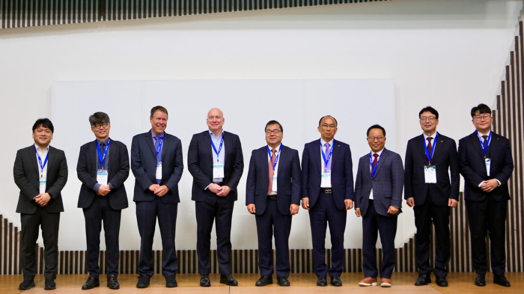
This was a particularly important session, focused on how we can make the processes behind standards development at OGC more efficient. At this Member Meeting, we took the traditional “Future Directions” session – always scheduled unopposed to ensure full participation – and rebranded it as “Faster Directions.” I introduced three main areas for consideration:
- Expediting Process Components: Exploring whether the chartering and initiation of Community Standard Work items could be made more efficient.
- Consolidating Working Groups: Consideration of how to combine Working Groups, encourage more collaborative efforts, and better deactivate those that do not meet regularly.
- Empowering Chairs: Exploring if training chairs on how to effectively guide Working Groups could help resolve consensus issues and mitigate delays in work.
These topics were thoroughly discussed, with a strong focus on the Working Groups. Participants generally agreed that organizing Member Meetings in a track system (as currently used for OGC APIs) might foster more effective meetings, reduce duplication of content, and naturally combine Working Groups. The first topic, expediting parts of the process, is expected to be addressed by a major revision of the charter templates. The third topic, empowering chairs, received agreement that chairs would benefit significantly from targeted training. The presentations and recordings from this session are available on the OGC Portal here.
Special Sessions
The Member Meeting featured several special sessions that explored the intersection of AI, standards, and geospatial technologies. These sessions included a AI for Geo Summit, an ISO 19119 (Services) review, EmissionML ad hoc, the OGC & Korea Joint Conference, and further collaboration with the K-GEO FESTA.
AI for Geo Summit: Held during the OGC & Korea Joint Conference, this summit explored a broad set of use cases and AI capabilities aimed at a broad spectrum of geospatial data analytic and processing activities. The common topic of imagery classification and data extraction were supplemented with scenarios for digital twin creation, Large Language Models (LLMs) for data discovery, real-time disaster response, climate analysis, and more. Resources from this summit, including session presentations and recordings, are available to OGC Members on the OGC Portal here.
ISO 19119 (Services) Review: This session provided an opportunity to the OGC experts to weigh-in on the planned update of the ISO Standard that underpins the legacy OGC Web Services Standards, such as Web Map Service and Web Feature Service. With these older standards being supplanted by the OGC API family of standards, the session focused on updating the underlying service framework to support modern web APIs and RESTful design patterns. OGC’s collaboration with ISO/TC 211, which maintains ISO 19119, is crucial for the evolution of these standards. Details of this session, including presentations and recordings, are accessible to members on the OGC Portal here.
EmissionML Ad Hoc: Following up on the Methane Summit from the last OGC Member Meeting in Montreal, this session discussed the characterization of methane and other emissions data, proposing a new SWG to consider broader emission monitoring and mapping use cases. This ad hoc session was crucial for preparing for upcoming SWG activities and engaging in detailed discussions on emission data applications. Presentations and recordings from this session are available for OGC members on the OGC Portal here.
Key Highlights
Throughout the event, a few topics consistently stood out as the key areas of promising development for the future of geospatial technology.
Artificial Intelligence: Despite OGC publishing the first international Standards for AI, the work should not be confined to traditional geospatial use cases and conventions. As demonstrated in the GeoAI Summit, the use of Large Language Models (LLMs) for queries and discovery extends across both geospatial and more general data fields. It was noted during the OGC & Korea Joint Conference that while image classification by AI has been practiced for over 50 years, newer machine learning and other AI techniques can now be applied in innovative ways to meet geospatial and related requirements.
Digital Twins and CityGML: On October 31, 2024, just days before this OGC Member Meeting, Korea released its Digital Twin Standards regulations incorporating OGC’s CityGML 3.0 Standard. With other governments also adopting CityGML as a digital twin data encoding framework (such as Japan for Project PLATEAU), the standard and its user ecosystem have become increasingly vital. Regular presentations at OGC Member Meetings highlight case studies using CityGML, encouraging members to identify commonalities across these communities to develop further best practices for the development and integration of digital twin technology. The recent OGC report on Urban Digital Twins further underscores this importance by distinguishing Digital Twins from the metaverse and mapping different perspectives on Digital Twins through the use of standards.
Closing Plenary
The Closing Plenary advanced several actions: new approval votes to start for Standards (OGC API – DGGS – Part 1: Core, Points of Interest Conceptual Model [a video overview of the OGC POI Conceptual Model is here], and IndoorGML 2.0 Conceptual Model) and rechartering of the OGC API Common Security and Cartographic Symbology Standards Working Groups (SWGs). The remainder of the session was dedicated to a detailed overview of Standardization activities within OGC. Slides and content from a significant number of Working Group sessions were included. All presentation materials are available to OGC members here.
Thank You to Our Community
This gathering in Goyang to discuss recent advancements and share knowledge in geospatial and AI technologies was truly inspiring. I am deeply grateful to all our members for their time, energy, and ongoing commitment, together ensuring that OGC remains at the forefront as the most comprehensive global community of location experts.
Looking to the future, we eagerly anticipate deepening these discussions at our next OGC Member Meeting in early 2025. This event will once again provide a valuable platform to connect with industry leaders, drive the advancement of geospatial standards, and uncover the latest innovations in our field.
Further information will be available soon, and we invite all members of the OGC Community – and beyond – to join us. Stay informed by subscribing to the OGC Newsletter, a bi-weekly digest of all things OGC.
